Can you navigate this tiny town?
Turn left, follow a timetable, and find a route using only the information given.
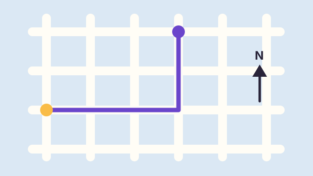
Welcome to a town made entirely of short instructions. The streets are a square grid, the compass directions are fixed, and no real travel advice is hidden in the answers. You can solve everything with a little sketch.
Directions become easier when you keep two frames of reference separate: the direction you are facing and the direction printed at the top of the map. Several questions turn on that distinction. All distances are along streets unless the question says otherwise.
Give it a go
0 of 5 answered
Answers, with the working
Open an explanation whenever you like. Looking at the reasoning is part of learning, not a rule violation.
01 You face north, turn right, then turn left. Which direction do you face?
Answer: North
Facing north, a right turn points east. A left turn from east points north again. The turns cancel because they are equal quarter-turns in opposite directions. It helps to update your facing direction after each instruction rather than treating both turns as if you were still facing north.
02 Walk 3 blocks east and 2 blocks north. What is the shortest return along the grid streets?
Answer: 5 blocks
You must undo three eastward blocks and two northward blocks. That takes five blocks along horizontal and vertical streets, in any suitable order. A diagonal could be shorter, but the question rules it out by specifying grid streets. Distance depends on which routes are allowed.
03 A bus leaves every 15 minutes from 09:00. You arrive at 09:22. When is the next departure?
Answer: 09:30
The departures are 09:00, 09:15, 09:30, and 09:45. Arriving at 09:22 puts you between the second and third departures, so the next is 09:30. The wait is eight minutes. Adding fifteen minutes to your arrival would create a schedule based on you rather than on the stated timetable.
04 The library is directly west of the fountain. The café is directly north of the library. From the fountain, in which broad direction is the café?
Answer: Northwest
Place the fountain at the center of a sketch. The library goes to its left, and the café above the library. Relative to the fountain, the café is both west and north: northwest. The exact distances do not matter for that broad direction as long as both movements are nonzero.
05 A map uses 1 cm for 200 m. A straight marked route measures 3.5 cm. How long is it?
Answer: 700 m
Each centimeter represents 200 meters. Three centimeters represent 600 meters and the remaining half centimeter represents 100 meters. Together that makes 700 meters. The scale converts a map length into a real length; it does not say how long someone would take to travel it.
Draw only what matters
You do not need a beautiful map. A compass arrow, a few labeled dots, and a pair of distances usually do the job. Extra scenery can make a sketch pleasant, but it can also obscure the relationships a question asks you to track.
Time works like another kind of route in the bus question. Mark departures on a line, then locate your arrival between them. This turns a word problem into a visible gap. It also makes it clear why an interval measured from your arrival is the wrong reference.
A route is not a travel recommendation
Real journeys involve accessible crossings, opening hours, road conditions, and other constraints absent from this invented grid. The quiz deliberately keeps those out so that each answer is checkable. Its score describes these fictional navigation problems only.
These scenarios and worked examples were written for Akkopo. Reasoning is shown on this page; fictional situations are not presented as observed data.
Something unclear? Suggest a correction.